About Urban Hawk
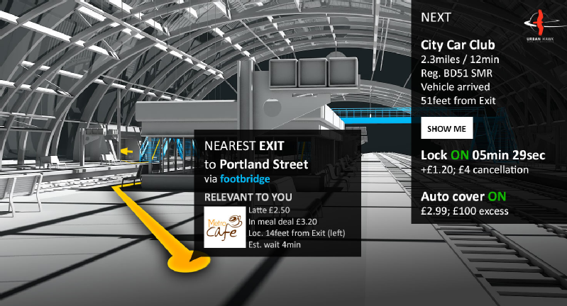
We are UK company with solutions that unlock new ways for automation in real-time. With the help of 3d mapping we build the street-level replica (digital twin) of the urban landscape in time-lapse dense detail. We combine depth information extracted from ground photos and video captures, drone footage, and satellite imagery into highly efficient spatial data structures. Frequently updated. We aim to maximise situational awareness. We locate relevant urban data in the ever growing big data sets collected worldwide. They fuse with our digital twins, collate and then display in 3d with time-lapse. Our efficient spatial data structures enable to run path finding, collision detection, and basically physics inside a digital twin. In real-time. You and your developers can then monitor and apply relevant urban statistics in revolutionary and accessible detail. You and your operators can profit from the arising automation opportunities through the range of our premium products we have been developing and providing on top. Guidance in mobility and multi-modal transport, real-time risk assessment and claim validation in insurance, artificial intelligence to foster data driven decision making in maritime operations and smart cities.
Image Gallery Urban Hawk 1
Data Urban Hawk
Created
February/2017
Status
Startup
Inversores Urban Hawk 0
Urban Hawk no tiene a su equipo agregado
Acceleradoras Urban Hawk 0
Urban Hawk no ha pasado por aceleradoras
Noticias Urban Hawk 0
Urban Hawk no tiene ninguna noticia disponible.


